Added 925 Millibar Winds

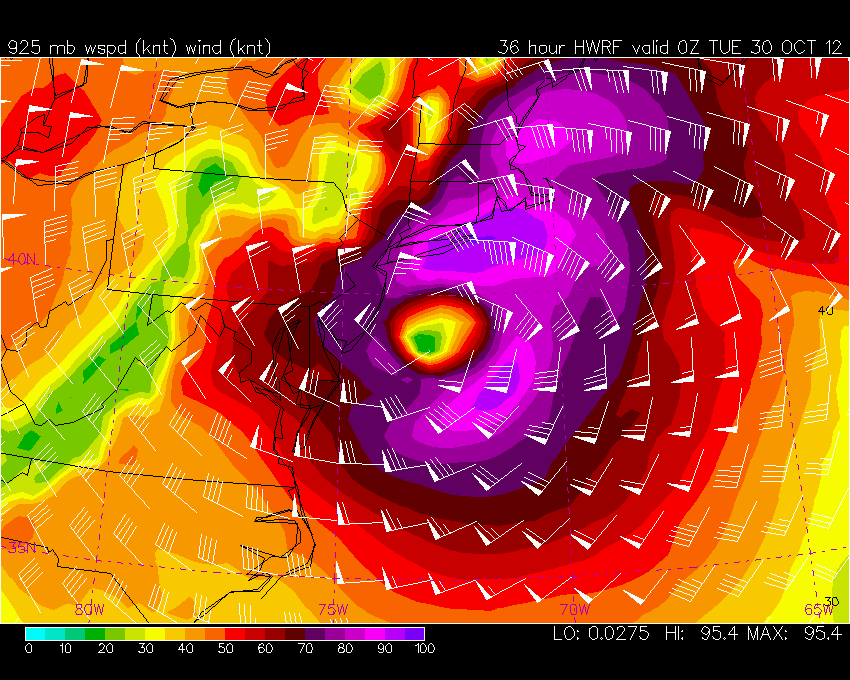
Added 925 Mb winds to the NAM, NAM CONUS Nest & HWRF Models. They are in the drop down menus. Should be available with the 10-28-12 12Z runs.

Below is the forecast 925mb winds (just above the surface) as Sandy makes landfall. Winds of 95 knots are forecast  by the HWRF near Long Island. Mixing of these winds near surface by heavy rain showers will likely transport gust to 70 knots at times as the strong gradient north of the center rotates through.


GFS Atlantic 850mb vorticity added

The GFS 850mb vorticity was added this past weekend to the GFS Tropical menus. The 850mb vorticity can be a potential early indicator of tropical cyclone genesis.

http://hp2.wright-weather.com/avn-tropical.shtml

The 850mb vorticity parameter has already been part of the ECMWF model guidance for a number of years.

http://hp2.wright-weather.com/ecmwf.shtml


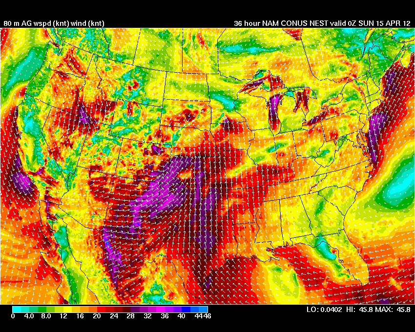
80 Meter Winds from the NAM & NAM CONUS WRF NEST Added

80 Meter winds above ground level from the NAM and also from the 4km NAM NEST have been added. This is very useful for our clients that are interested in forecasting for the all important hub height for wind turbines, at wind generation facilities.

These are updated 4 times per day.  If you have any questions please let us know.