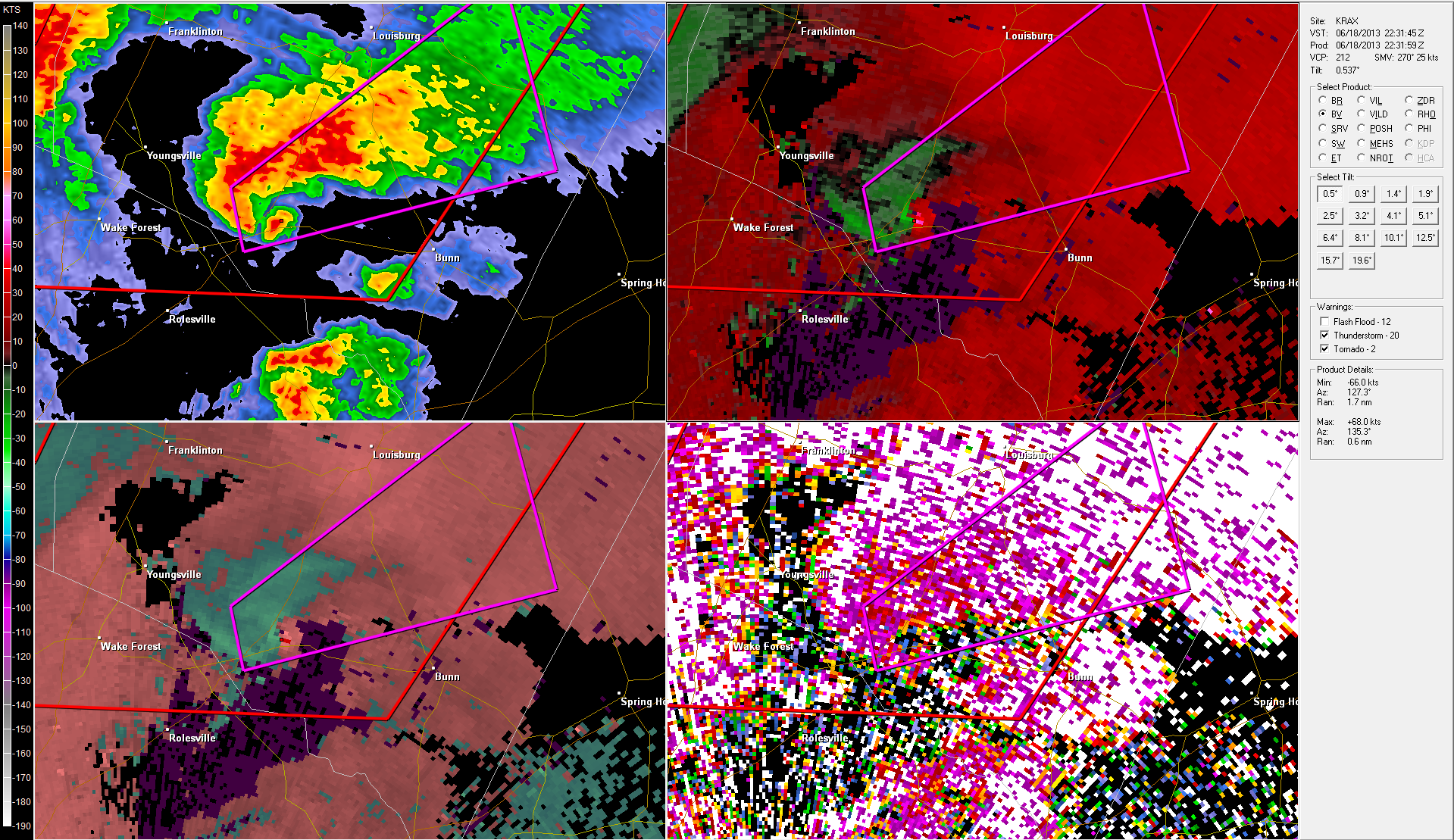
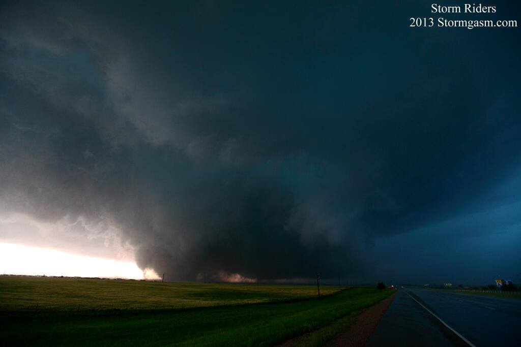
An apparent brief touch down of a tornado in Central North Carolina yesterday evening was detected by the Raleigh, NC WSR-88D Radar. The RDA was fairly close to the storm with the 0.5 degree beam altitude only around 1390 feet.
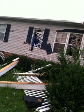
While the NWS survey has not yet been completed, it appears this will very likely be an EF0 or EF1 tornado, based on the damage reported, photos and radar data.
Update 2:10 PM EDT: NWS just confirmed EF0 with 85mph winds. Path length 1.25 miles / 150 yards wide
https://twitter.com/NWSRaleigh/status/347413698903683072
https://twitter.com/NWSRaleigh/status/347414519649296386
The 22:31:59Z volume scan had a small, but defined TVS with gate to gate shear of ~81kts (+57/-24) and a well defined hook echo. It also developed a significant correlation coefficient minimum which was co-located with a reflectivity maximum in the hook where the TVS was also centered.
All of this convinced me, that there was indeed a tornado on the ground and in progress. I quickly put together a “tweet” and sent it out at 22:36Z indicating that we now had a tornado on the ground.
https://twitter.com/Wright_Weather/status/347120537417420802
I also submitted something to the effect, on RAH NWSChat, about a possible debris ball developing on radar.
Shortly there after we started receiving verification of damage and sightings of the tornado.
https://nwschat.weather.gov/lsr/#RAH/201306182218/201306182315/0100
This is another example of how useful the Dual Polarization data can be when looking for Tornado Debris Signatures. Even for locating relatively “weak” tornadoes. Looking at the dual polarization data, it appears the “debris” was lofted to an altitude of around 2600 feet. My thinking is that much of this “debris” is likely tree leaves & foliage from the wooded areas where the tornado crossed, as well as, some other materials.
Click images to enlarge
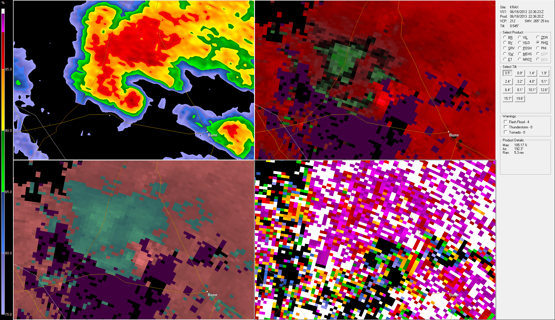
Next Volume Scan shows "Debris Ball" with reflectivity maxium and correlation coefficient minimum, but velocity couplet weakening indicating tornado dissipating.
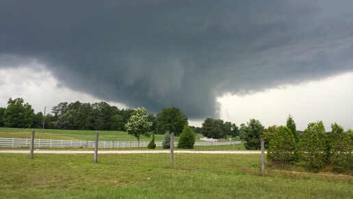
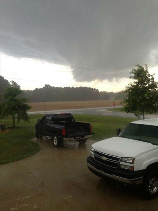
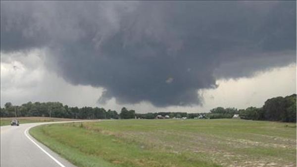
Photos of the wall cloud ( Credit: WRAL)
Damage to a home in Youngsville, NC


