…Outbreak of Storms with Widespread Wind Damage Increasingly Likely…
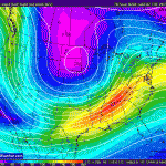
Monday morning thunderstorms are expected to develop across Eastern Texas northward into Arkansas and Missouri, as a very strong upper level short wave rotates around a deepening full latitude trough.
These storms will expand rapidly northeastward during the day as line or broken line across the Deep South and spread into the Tennessee and Ohio-Valleys during the evening into the overnight hours. Damaging convective wind gusts are quite possible across a large area from the Gulf Coast region into Lower Michigan.
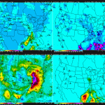
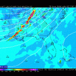
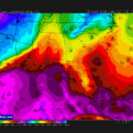
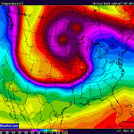
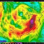
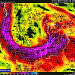
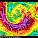
Model guidance has converged on a solution with extremely strong winds at all levels of the atmosphere, combined with very strong upward vertical forcing across the Deep South northward into the Ohio Valley. Marginal instability, the limiting factor, will likely be overcome by the extremely strong forcing associated with negatively tilted shortwave with 80+knt 850mb/ 110+knt 500mb/ 175knt 200mb jets.
A widespread wind damage event is becoming increasing likely and may extend from the Deep South northward through the Ohio Valley into Monday night.
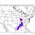
Tornadoes are also possible give the extreme low level wind shear, helicity and forcing.
The severe weather threat is likely to continue across the Southeast on Tuesday.
Additional model data will need to be evaluated closely for the Monday/Tuesday time frame. Any significant increase/decrease in instability will change the risk of this outlook.
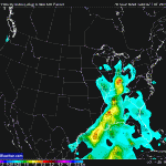
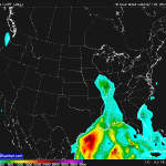
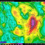
Some associated graphics from the 00Z/26 NAM indicating the kinematic & thermal forcing expected with this event.


