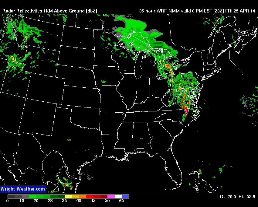
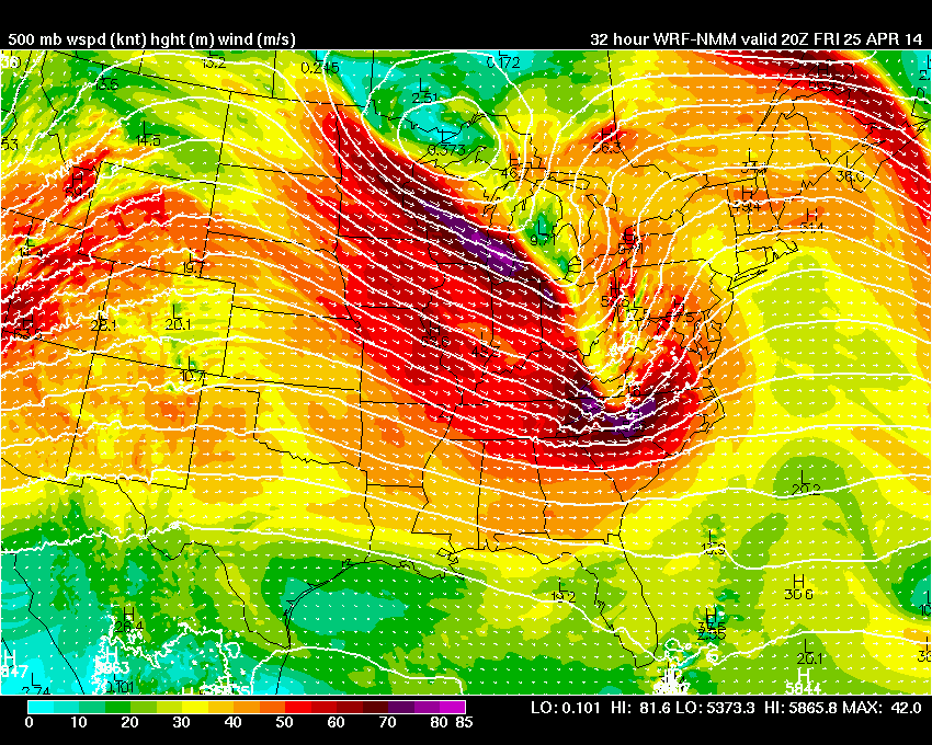
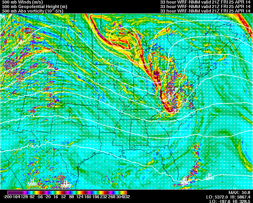
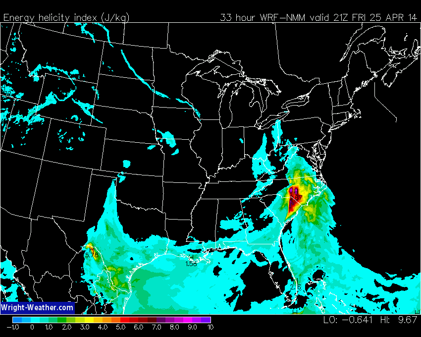
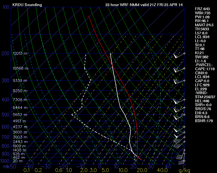
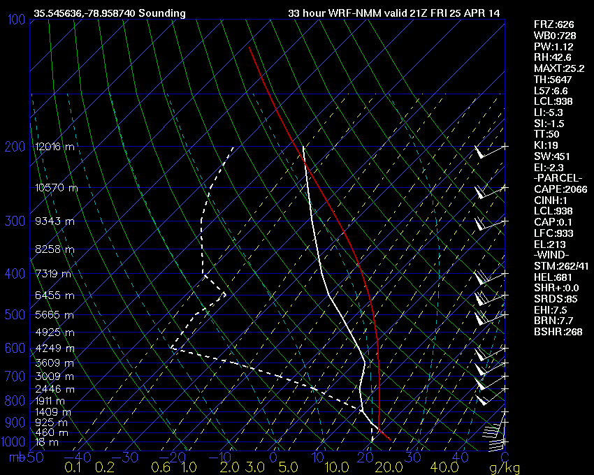
An upper level shortwave will move through the Mid-Atlantic region Friday evening. Ahead of this shortwave, conditions will for a short period of time, become favorable for severe weather across Central and Eastern portions of the Carolinas and Virginia.
Thunderstorms will likely develop by mid day across the central portions of the region and move eastward and intensify under a strong mid-level flow. Moderate helicity and bulk-shear values along with surface CAPE in excess of 1500 will support the potential for supercell development. Low LCL levels will also increase the risk of tornadoes in the strongest supercells. Trends in mid-level wind strength and instability should be monitored for an increase in the severe weather risk assessment.
-Mike
4/24/14 3:00 PM EDT


