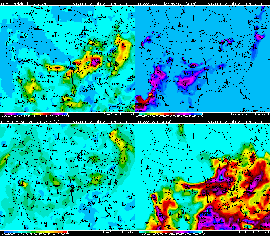
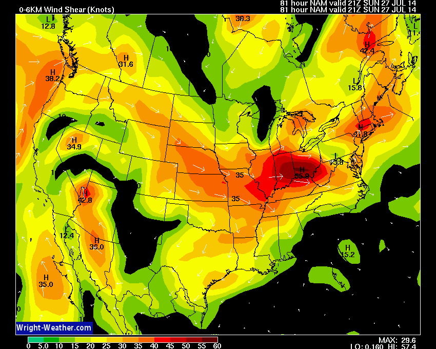
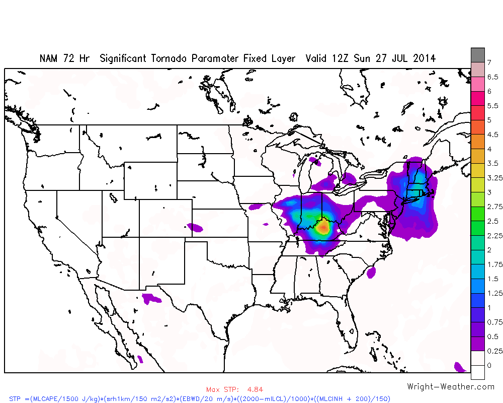
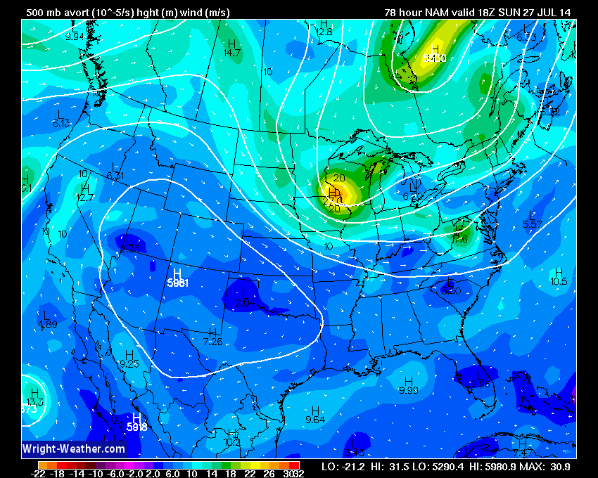
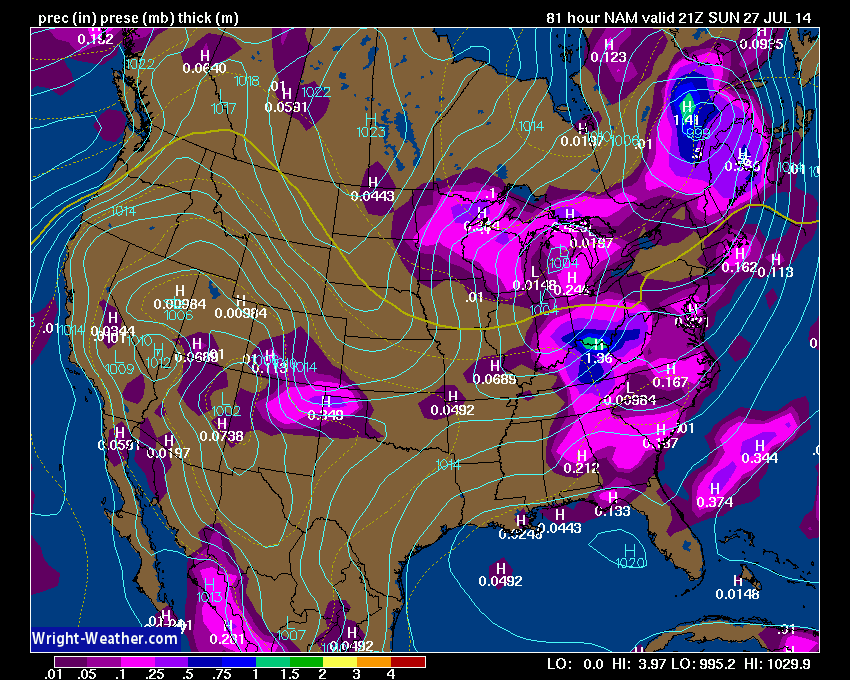
A spring like cold front will move through the Mid-West and combine favorable wind shear with strong instability Saturday into Sunday afternoon and will likely produce widespread severe thunderstorms with large hail, damaging winds with the possibility of a few tornadoes.
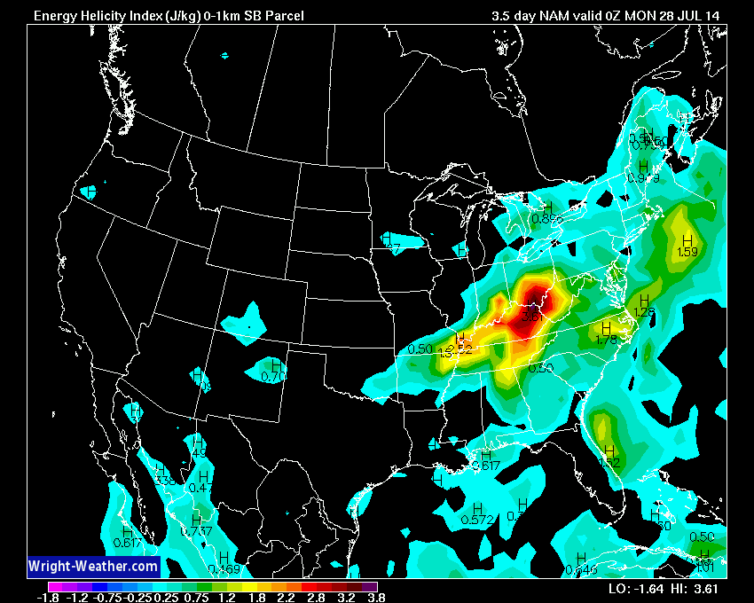
An unseasonably strong upper level short wave will drop southward into the Ohio-Valley on Sunday and will increase the mid and upper level flow across the region. Favorable instability, bulk shear & moderate helicity will support organized severe thunderstorms beginning on Saturday across IA/MO/IL/IN. The threat shifts eastward on Sunday into IN/OH/KY/TN/WV. A tornado threat exist along the quasi-stationary front across northern IN/OH and a conditional threat also exist within the low level theta-e advection zone across eastern Ohio/Kentucky & West Virgina where 0-1KM EHI’s & 0-1Km bulk shear are highest.
Should be an active 48 hour period. Additional severe storms are likely into Monday across the Northeast and Mid-Atlantic.


