Mike Dross

About Mike Dross

Scientist / Meteorologist. Founder & President of Wright-Weather.com.

Upgrading to GOES 16 Satellite

We will be upgrading our system from GOES 13 to GOES 16 over the next couple of days.  There may be some  interruptions in a few of the satellite products as we make this major upgrade.

The new GOES 16 satellite image will offer 60x the amount of data that the previous GOES 13 satellite provided.

Some of the improvements are noted below

  • 1km visible imagery now increased to 500 meters
  • 4km infrared Imagery increased to 2km.
  • 15 minute CONUS now increased to 5 minutes
  • 1 minute updating mesoscale sectors
  • 15 minute Full Disk scans at 6km.

Digital Storm Total Precipitation – Dual Pole Corrected

WSR-88D Digital Storm Total Precipitation has been added to all single site radars.

This product differs from the traditional Storm Total Precipiation product.

  • More color resolution
  • Uses Dual Pole data to improve ZR relationship to better estimate precipitation amounts.

This is available under the NEXRAD Radars, under the navigation menu  ”Precipitation Estimates”

Here is a link to the Houston, Texas Digital Storm Total Precipitation. 

NAM Model Upgraded Today – 3/21/2017

The NAM (North American) model was upgraded this morning.  There are many new updates to the model (see the NCEP TIN link for details), one of the important changes is with the NAM CONUS NEST.  It was upgraded from the 4km to 3km horizontal resolution along with a number of physics changes.

The NAM 3Km NEST has been available at Wright Weather for a couple of months running in parallel while NCEP evaluated its output.

Here are the links to the NAM model.

NAM 12KM Model
http://vmcluster.wright-weather.com/mesoeta.shtml

NAM 3km CONUS Nest
http://nam.wright-weather.com/nam.php

NAM 3km CONUS Nest (Classic)  /w upper air products.
http://www.wright-weather.com/nam-conus/nam-conus.php
Available at 18Z today.

Here is the NCEP TIN outlining some of the changes to the model.

http://www.nws.noaa.gov/os/notification/tin16-41nam_updatesaab.htm


Risk for strong tornadoes across portions of SC/GA/FL on Sunday

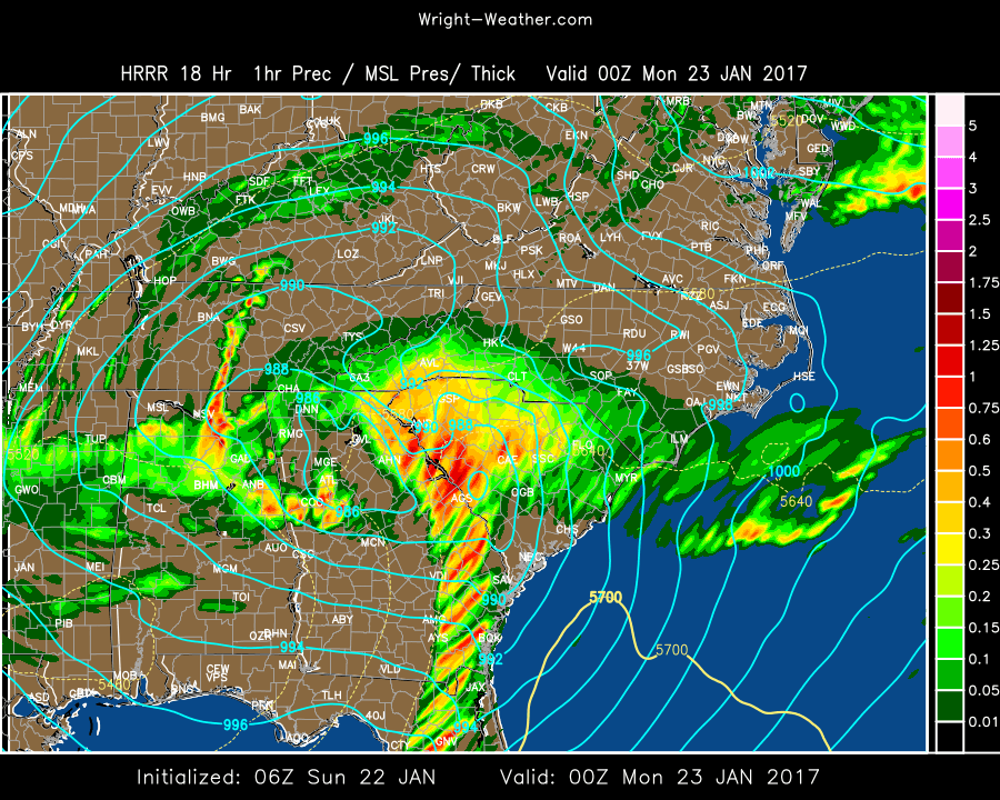
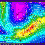
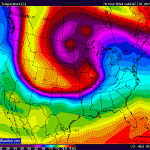
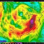
An extremely strong  upper level vort max will move into the Gulf and develop an unusually deep low pressure system across the Western Carolinas Sunday night.

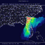
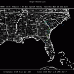
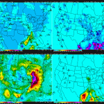
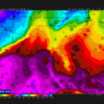
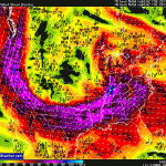
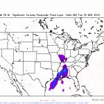
Conditions just ahead of the cold front, along/south of the warm front will become extremely favorable for supercells to develop as 0-1 km helicity will be well above 500 and 0-6km shear will be over 60kts.  STP values are over 8.  There is also an an enormous amount of atmospheric lift as the left front exit region of the 300mb jet moves across the area, which is causing the surface low to deepen so quickly.

This is an extremely unusual system to bring this much instability and shear to an area this far south. Only once every decade or more does this region experience such extreme parameters.

The potential exist for long track and violent tornadoes exist across North Florida into into Eastern South Carolina Sunday afternoon.

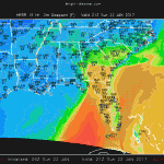
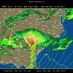
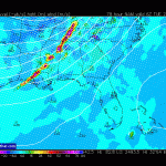
I am attaching a few charts to illustrate the extreme nature of the tornadic environment today.  Those forecasting in this area be mindful of the rare nature of the parameters involved this afternoon.


GFS v14 Parallel Now Available

The next operational version of the GFS model v14.0 is currently in evaluation and available on Wright-Weather.com.

Here is the link.  It updates  at 00/06/12/18Z and comes  out a couple hours later than the Operational GFS.

http://gfsp.wright-weather.com/gfsp.shtml

FROM NCEP/EMC

Changes and associated expected benefits of the GDAS/GFS model upgrade include:

Changes to assimilation:

  • Introduction of Near-Surface Sea Temperature (NSST) describing near surface oceanic vertical temperature structure due to diurnal warming and sub-layer cooling physical processes. SST, satellite data assimilation and weather forecasting will be improved by using advanced GSI data assimilation techniques to analyze SST together with atmospheric analysis variables.


Changes to observations:

  • Radiances

–     Include Megha-Tropiques SAPHIR radiance assimilation

–     Monitor GPM/GMI radiance assimilation

–     Changes to land surface type specification for CRTM

–     AVHRR radiance and in situ (buoys & ships) sea water temperature observations are added to analyze SST


  • SATWND observation changes

–     Assimilate VIIRS winds

–     Log-Normal wind QC for winds

–     Assimilate GOES clear-air water vapor winds


  • Other changes

–     Assimilate extra GNSS-RO observations

–     Fix cloud water increment bug

–     Readiness for CrIS Full Resolution Data and add/extend RARS and DBNET capability (JPSS, GOESR)

Forecast model:


  • NEMS software superstructure and infrastructure
  • SST diurnal variability is resolved with the NSST model.
  • Land surface changes

–     IGBP 20-type 1 km land classification

–     STASGO 19-type 1 km soil classification

–     MODIS-based snow free albedo

–     MODIS-based maximum snow albedo

–     Diurnal albedo treatment

–     Unify snow cover, albedo between radiation and land surface model

–     Increase ground heat flux under deep snow

  • Stability parameter constraint in the Monin-Obukov similarity theory to prevent land surface and atmosphere from fully decoupling leading to excessive cooling of 2m temperature during sunset.  Modification of the roughness-length formulation in the surface layer.
  • Changes to cumulus convection

–     Scale-aware, aerosol-aware

–     Rain conversion rate decreases with decreasing air temperature above freezing level

–     Convective adjustment time in deep convection proportional to convective turn-over time with CAPE approaching zero after adjustment time

–     Cloud base mass flux in shallow convection as a function of mean updraft velocity

–     Convection trigger condition to suppress the unrealistic summertime spotty precipitation over high mountains.

–     Convective cloudiness enhanced by suspended cloud condensate in updraft

  • Rayleigh damping applied to model layers above 2 hPa reduced by 50%.

Surface reference pressure for the two-time-level semi-implicit semi-Lagrangian

  • scheme changed from 800 hPa to 1000 hPa.

Changes in the land surface and stability parameter should reduce a near surface wintertime cold bias, a rapid temperature drop during sunset and reduce a blockiness apparent in some near-surface fields.  Some nighttime warm biases were introduced.  Changes in convection should reduce a positive bias in light amounts of precipitation and unrealistic summertime spotty precipitation over high mountains and increase skill in forecasting precipitation.  NSST is expected to improve tropical forecasts and may affect mid-latitude oceanic storms.  Reducing Rayleigh damping improved wind and temperature forecast in the upper stratosphere. Applying the revised reference pressure reduced model computational noise in the upper atmosphere.


NAM 3KM CONUS Parallel Available

The NAM CONUS Nest (NAM v4 ) is being upgraded to a 3km resolution and the parallel run is now available at Wright-Weather.com

In addition to higher spatial resolution, going from 4km to now 3km, the parallel version is now available hourly to 60 hours. The current operational version only provides hourly data to 36 hours.

The parallel data will be made available until at least February 1st when the NAM v4 is expected to become the operational NAM model. If in testing problems arise, it may get delayed, going operational, extending the parallel testing period.

Here is the link to the parallel NAM 3km CONUS model.

http://namp.wright-weather.com/namp.php


Added Wind Gusts to WRF-ARW/NMM 4km CONUS

Added Wind Gusts to WRF-ARW/NMM CONUS.

http://hp6.wright-weather.com/eastnmm.shtml

Also as a side note. NCEP is planning to upgrade the NAM model in January 2017 and the NAM CONUS spatial resolution is going to improve to 3km from 4km. Also there will be physics changes that will result in a small improvement in the model.

We wwill post an update when this upgrade is completed.


Outbreak of Severe Storms With Damaging Winds Increasingly Likely Monday/Monday Night From Gulf States to Ohio Valley

…Outbreak of Storms with Widespread Wind Damage Increasingly Likely…

Monday morning thunderstorms are expected to develop across Eastern Texas northward into Arkansas and Missouri, as a very strong upper level short wave rotates around a deepening full latitude trough.

These storms will expand rapidly northeastward during the day as line or broken line across the Deep South and spread into the Tennessee and Ohio-Valleys during the evening into the overnight hours. Damaging convective wind gusts are quite possible across a large area from the Gulf Coast region into Lower Michigan.

Model guidance has converged on a solution with extremely strong winds at all levels of the atmosphere,  combined with very strong upward vertical forcing across the Deep South northward into the Ohio Valley.  Marginal instability, the limiting factor, will likely be overcome by the extremely strong forcing associated with negatively tilted shortwave with  80+knt 850mb/ 110+knt 500mb/ 175knt 200mb  jets.

A widespread wind damage event is becoming increasing likely and may extend from the Deep South northward through the Ohio Valley into Monday night.

Tornadoes are also possible give the extreme low level wind shear, helicity and forcing.
The severe weather threat is likely to continue across the Southeast on Tuesday.

Additional model data will need to be evaluated closely for the Monday/Tuesday time frame. Any significant increase/decrease in instability will change the risk of this outlook.

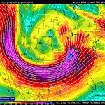
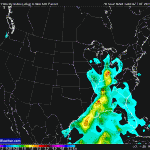
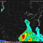
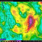
Some associated graphics from the 00Z/26 NAM indicating the kinematic & thermal forcing expected with this event.