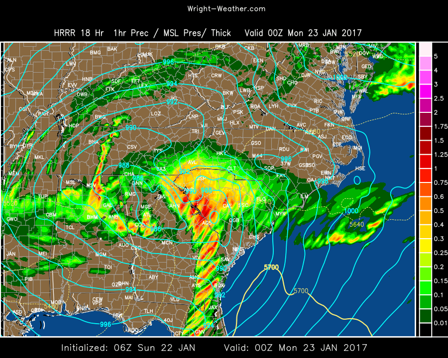
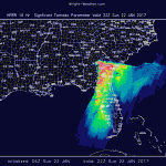
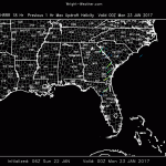
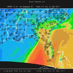
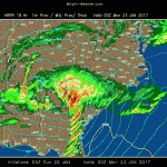
An extremely strong upper level vort max will move into the Gulf and develop an unusually deep low pressure system across the Western Carolinas Sunday night.
Conditions just ahead of the cold front, along/south of the warm front will become extremely favorable for supercells to develop as 0-1 km helicity will be well above 500 and 0-6km shear will be over 60kts. STP values are over 8. There is also an an enormous amount of atmospheric lift as the left front exit region of the 300mb jet moves across the area, which is causing the surface low to deepen so quickly.
This is an extremely unusual system to bring this much instability and shear to an area this far south. Only once every decade or more does this region experience such extreme parameters.
The potential exist for long track and violent tornadoes exist across North Florida into into Eastern South Carolina Sunday afternoon.
I am attaching a few charts to illustrate the extreme nature of the tornadic environment today. Those forecasting in this area be mindful of the rare nature of the parameters involved this afternoon.


