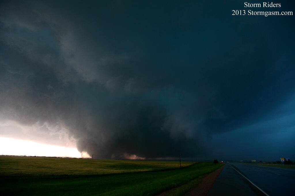
The May 31st EF5 El Reno Tornado that killed several storm researchers was sampled by ground based mobile X-band doppler radar (RaxPol) with very high resolution and found extreme wind speeds of almost 300 mph and rare satellite tornadoes. Other conventional fixed based NWS and FAA radars also captured remarkably high velocities and signatures.
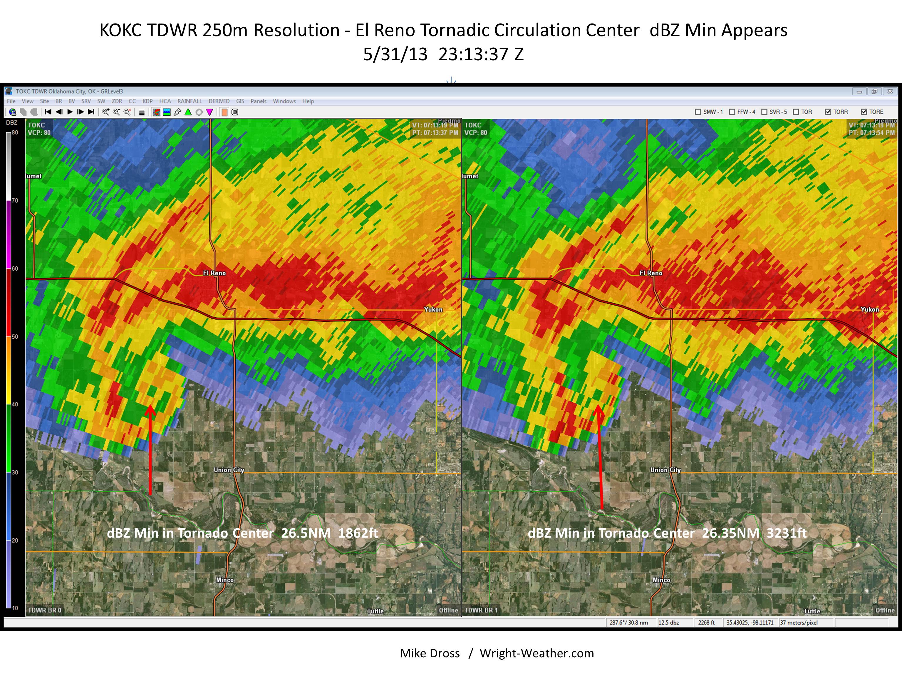
Below is the Terminal Doppler Weather Radar from Oklahoma City (TDWR). A C-Band Radar with a high resolution receiver (250 meter resolution data displayed) and it appears to capture an apparent reflectivity minimum in the center of the tornado at the *exact* same time that the RaxPol indicated the same feature in the tornado. This is quite remarkable considering the distance from the radar is 26 miles. This reflectivity minimum is likely caused by descending air within the tornado and centrifuging of debris and precipitation in this case.

This is the RaxPol image from the exact same time as the TDWR image above.
- RaxPol Mobile Doppler Dual Polarization Radar
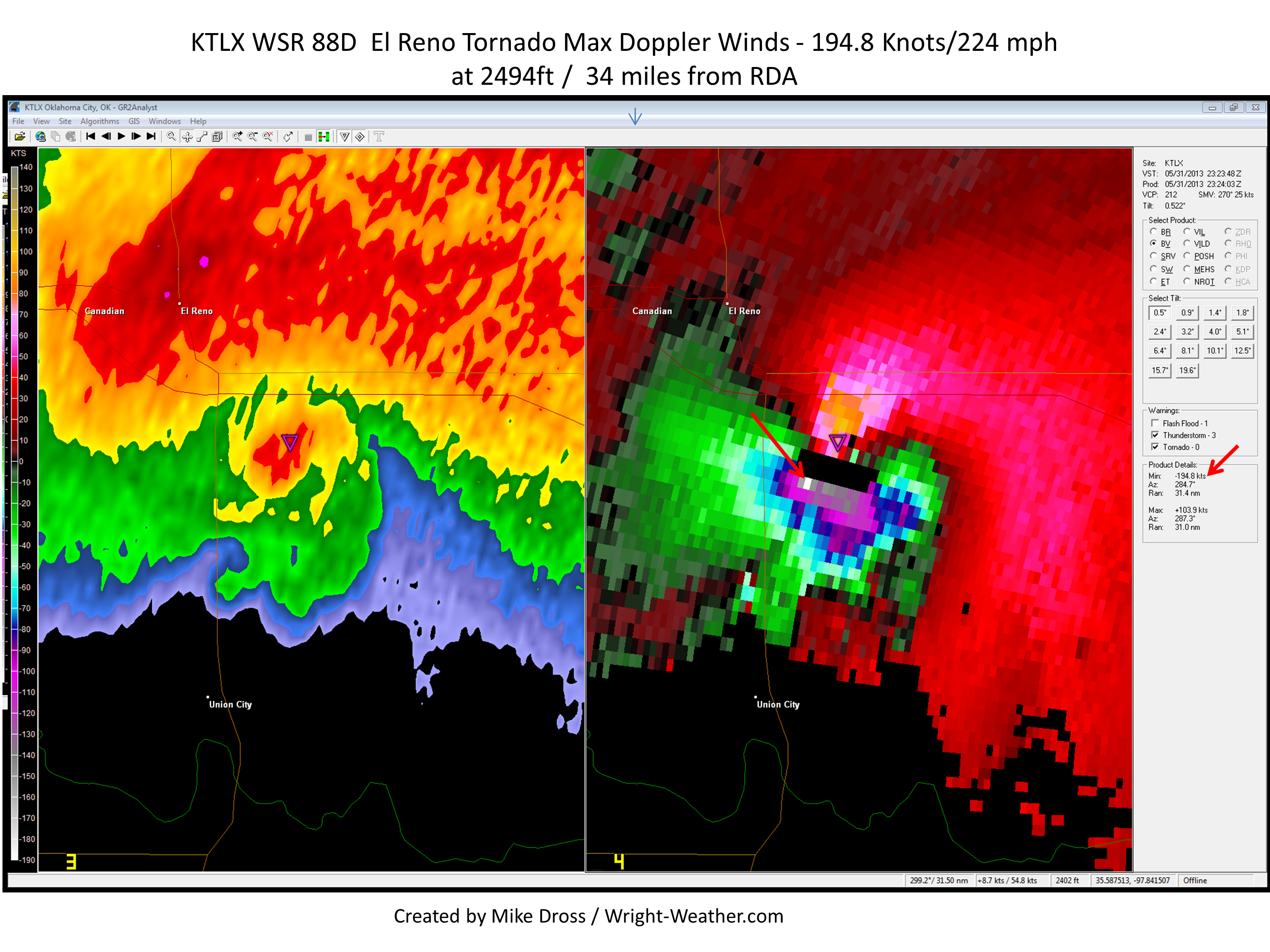
The National Weather Service WSR-88D in Norman, OK recorded some of the fastest winds I am ever aware of. I am quite sure these winds are legitimate. Below is a screen shot of the tornado at 23:24Z


Incidentally, our (RaXPol’s) peak radial velocity values are recorded very near the time of the 88D image you posted. They occurred in subvortices much smaller than the 88D can resolve, but the time is similar. Those subvortices are the a most spectacular aspect of this tornado (their evolution, spectacular translational speed, their development and decay, etc.).
That is quite interesting and what I suspected was going on in/near the radial velocity bin in the 88D that measured winds in excess of 200 mph. The width of the range bin at distance is nearly a 1/4 mile. I am looking forward to more of the data and imagery you all collected! Thanks for sharing this info!
-Mike