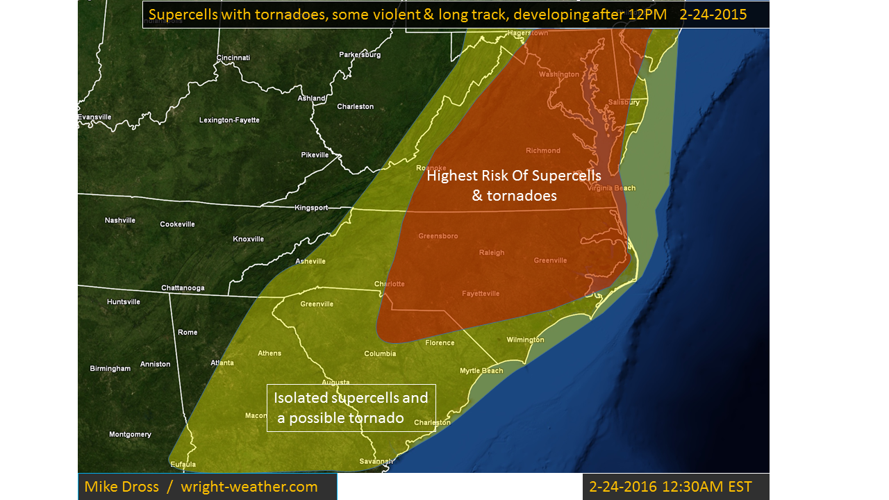
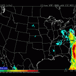
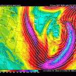
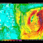
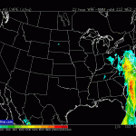
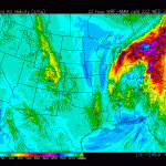
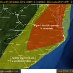
Conditions favorable for supercells and tornadoes this afternoon will develop across Central and Eastern North Carolina into Western Virginia. Extremely favorable shear and strong mid-level winds will combine with afternoon heating, to allow destabilization to occur at the time of frontal passage. A broken line of supercells should form by mid to late afternoon across Central North Carolina northward into Western Virginia, These cells will move rapidly northeastward beneath a 100+ knt mid-level jet. The cells will be capable of producing violent tornadoes as they continue into the evening hours. Straight line winds of 75 mph are also possible in bowing segments or in rear flank down drafts. There will be a considerable amount of dry air aloft which will limit the coverage of storms, but will aid the formation of the tornadoes, combined with a low lcl.


